→ rdfs:label → "Leica C10 Terrestrial Laser Scanner"
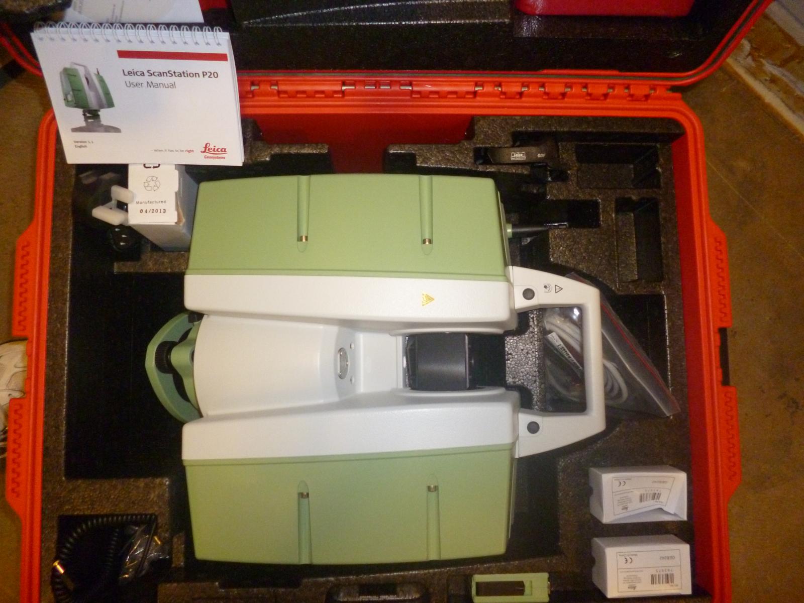
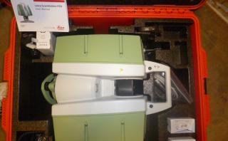
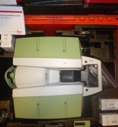
→ dcterms:description → "Survey instrument to create␣␣3D point clouds up to a range of 200 metres with a precision of 2mm"
→ skos:notation → "E10676"^^http://id.southampton.ac.uk/ns/equipment-code-scheme
→ dc:description → "Survey instrument to create␣␣3D point clouds up to a range of 200 metres with a precision of 2mm"
→ rdfs:comment → "Survey instrument to create␣␣3D point clouds up to a range of 200 metres with a precision of 2mm"
← is
foaf:depicts of
← http://data.southampton.ac.uk/image-archive/equipment/raw/E10676-200961-P1000485.jpg,
http://data.southampton.ac.uk/image-archive/equipment/300/E10676-200961-P1000485.jpg,
http://data.southampton.ac.uk/image-archive/equipment/200/E10676-200961-P1000485.jpg,
http://data.southampton.ac.uk/image-archive/equipment/50/E10676-200961-P1000485.jpg,
http://data.southampton.ac.uk/image-archive/equipment/100/E10676-200961-P1000485.jpg,
http://data.southampton.ac.uk/image-archive/equipment/400/E10676-200961-P1000485.jpg,
https://data.southampton.ac.uk/image-archive/equipment/raw/E10676-200961-P1000485.JPG,
https://data.southampton.ac.uk/image-archive/equipment/1000/E10676-200961-P1000485.JPG,
https://data.southampton.ac.uk/image-archive/equipment/800/E10676-200961-P1000485.JPG,
https://data.southampton.ac.uk/image-archive/equipment/600/E10676-200961-P1000485.JPG,
https://data.southampton.ac.uk/image-archive/equipment/400/E10676-200961-P1000485.JPG,
https://data.southampton.ac.uk/image-archive/equipment/300/E10676-200961-P1000485.JPG,
https://data.southampton.ac.uk/image-archive/equipment/200/E10676-200961-P1000485.JPG,
https://data.southampton.ac.uk/image-archive/equipment/100/E10676-200961-P1000485.JPG,
https://data.southampton.ac.uk/image-archive/equipment/50/E10676-200961-P1000485.JPG,
https://data.southampton.ac.uk/image-archive/equipment/1920/E10676-200961-P1000485.JPG,
https://data.southampton.ac.uk/image-archive/equipment/1600/E10676-200961-P1000485.JPG,
https://data.southampton.ac.uk/image-archive/equipment/800x600/E10676-200961-P1000485.JPG,
https://data.southampton.ac.uk/image-archive/equipment/480x297/E10676-200961-P1000485.JPG,
https://data.southampton.ac.uk/image-archive/equipment/320x198/E10676-200961-P1000485.JPG,
https://data.southampton.ac.uk/image-archive/equipment/240x260/E10676-200961-P1000485.JPG,
https://data.southampton.ac.uk/image-archive/equipment/220x220/E10676-200961-P1000485.JPG
→ rdfs:label → "Geography & Environmental Science"
← is
dcterms:isVersionOf of
← https://data.southampton.ac.uk/image-archive/equipment/1000/E10676-200961-P1000485.JPG,
https://data.southampton.ac.uk/image-archive/equipment/800/E10676-200961-P1000485.JPG,
https://data.southampton.ac.uk/image-archive/equipment/600/E10676-200961-P1000485.JPG,
https://data.southampton.ac.uk/image-archive/equipment/400/E10676-200961-P1000485.JPG,
https://data.southampton.ac.uk/image-archive/equipment/300/E10676-200961-P1000485.JPG,
https://data.southampton.ac.uk/image-archive/equipment/200/E10676-200961-P1000485.JPG,
https://data.southampton.ac.uk/image-archive/equipment/100/E10676-200961-P1000485.JPG,
https://data.southampton.ac.uk/image-archive/equipment/50/E10676-200961-P1000485.JPG,
https://data.southampton.ac.uk/image-archive/equipment/1920/E10676-200961-P1000485.JPG,
https://data.southampton.ac.uk/image-archive/equipment/1600/E10676-200961-P1000485.JPG,
https://data.southampton.ac.uk/image-archive/equipment/800x600/E10676-200961-P1000485.JPG,
https://data.southampton.ac.uk/image-archive/equipment/480x297/E10676-200961-P1000485.JPG,
https://data.southampton.ac.uk/image-archive/equipment/320x198/E10676-200961-P1000485.JPG,
https://data.southampton.ac.uk/image-archive/equipment/240x260/E10676-200961-P1000485.JPG,
https://data.southampton.ac.uk/image-archive/equipment/220x220/E10676-200961-P1000485.JPG