Open Data Service

Leica Scan Station Terrestrial Laser Scanner

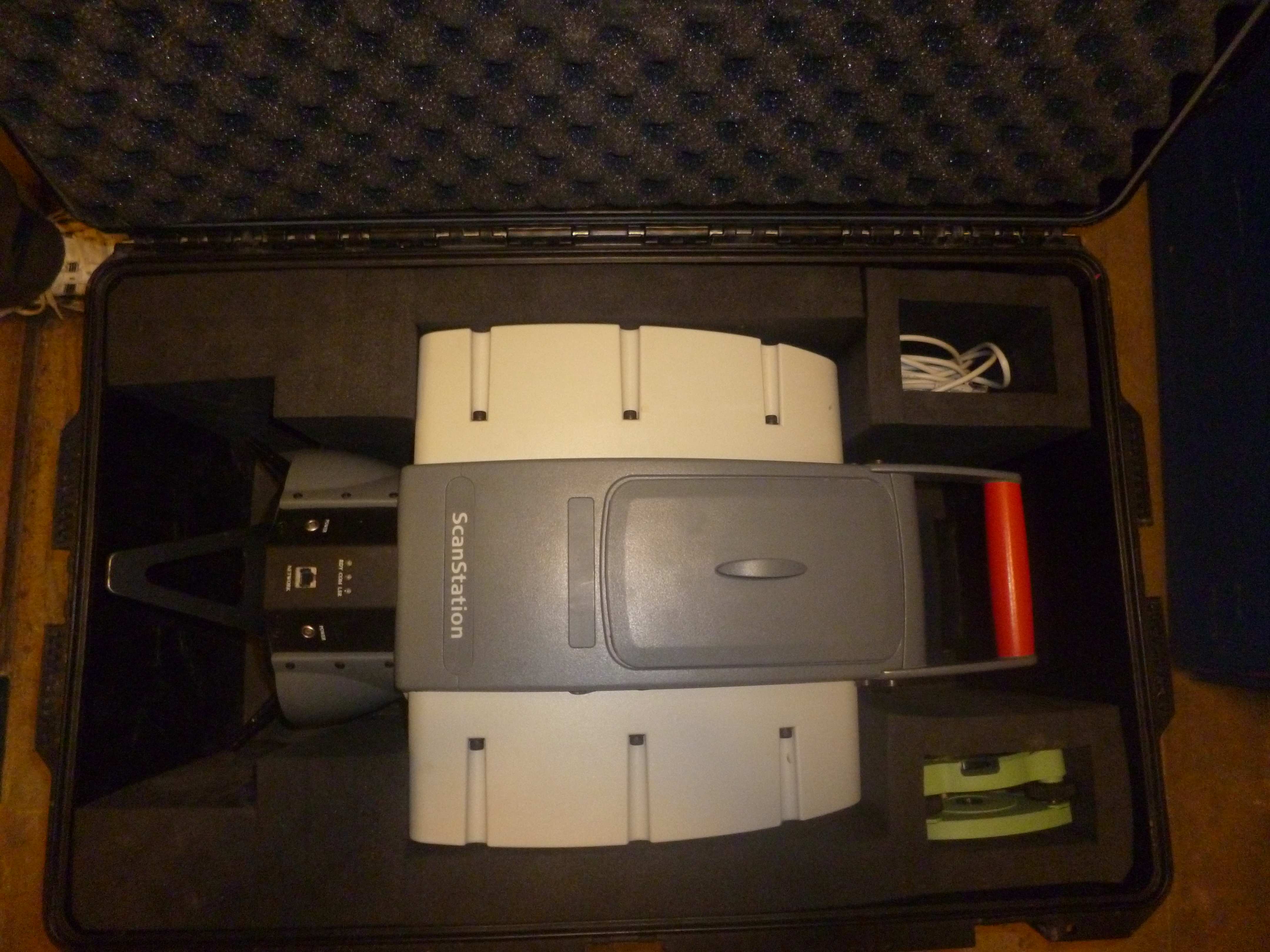
Survey instrument to create 3D point clouds up to a range of 200 metres with a precision of 2mm

Facility:
http://id.southampton.ac.uk/facility/F10000
Part of:
Social and Human Sciences
Geography & Environmental Science
Location:
Shackleton

Contact

RIDDY, LIAM

Leica Scan Station Terrestrial Laser Scanner Photo

Photograph of Leica Scan Station Terrestrial Laser Scanner at the University of Southampton (thumbnail).
If you have additions or corrections to a facility or equipment entry please contact your Faculty Finance Team.

Get the Data

You can download the raw data used to create this page:

The following open datasets were used to build this page:

© 2025 University of Southampton